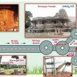
Sammakka Saralamma Jathara 2012, Warangal, Hanmakonda to Medaram Jathara road map, Medaram Jathara Buss Road Map
Sammakka Saralamma Jathara 2012, Warangal, Hanmakonda to Medaram Jathara road map, Medaram Jathara Buss Road Map

Sammakka Saralamma Jathara 2012, Warangal, Hanmakonda to Medaram Jathara road map, Medaram Jathara Buss Road Map
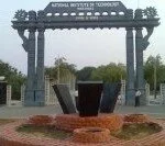
Primary schools Upper Primary Schools High School Hr secondary school 2819 801 1039 1 Warangal is the 4th largest city in Andhra Pradesh and is known for important educational institutions like Kakatiya Medical College and National Institute of Technology, Warangal . Established in 1959 as the first of “Regional Engineering College”s in the country, foundation […]
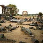
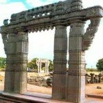
Location : Northern Part Of Andhra Pradesh Previously : Orugallu or Omtikonda The city was once the heartland of Telugu culture. The capital of the Kakatiya rulers, Warangal today contains some of the best forms of architecture, especially temples. The 1000-pillar temple and the Ramappa temple in the district are glowing examples of the exquisite […]
Warangal city in the district has been an important seat of education. The Regional Engineering College of Warangal presently known as the National Institute of Technology adds to the pride of the district. Apart from this institute of national importance there are also other institutes in the district of Warangal which can be considered as […]
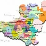
Demography of Warangal District Warangal has a population of 32.46 lakh. Out of which there are more males as compared to the number of females. Similarly the percentage of rural population in the district is also more than the number of urban population. The literacy rate in the district is 49.14 percent. Item Unit of […]
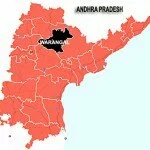
Geography of Warangal District The district of Warangal has an area of 12,846 km. It is bounded by Karimnagar in the north, Khammam in the east, to the west is the Medak district and the district of Nalgonda lies to the south-west of Warangal. It has been divided into 51 mandals. Warangal being located in […]
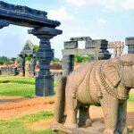
warangal city information, warangal city info, warangal district information, warangal District history Warangal District is located towards the northern part of Andhra Pradesh and Warangal city is its district headquarters. The district is located 157 kilometers away from the state capital Hyderabad. The district is well known for its wonderful lakes, magnificent temples and abundant […]
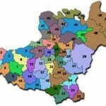
Warangal District Mandal Names with code wise Mandal Code Mandal Name Mandal Code Mandal Name Mandal Code Mandal Name 1 Cheriyal 18 Thorrur 35 Duggondi 2 Maddur 19 Nellikudur 36 Geesugonda 3 Narmetta 20 Narsimhulapet 37 Atmakur 4 Bachannapeta 21 Maripeda 38 Shayampet 5 Jangaon 22 Dornakal 39 Parkal 6 Lingala Ghanpur 23 Kuravi 40 […]
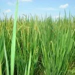
Major Crops 1997-98 Crop Area as % of District total Quantity(In thousand Tonnes) Source Rice 17.49 180 1997-98 Jowar 5.83 20 “ Cotton * 22.65 132 “ Turmeric 1.35 23 “ Maize 10.31 119 “ Arhar 2.69 2 “ Chillies 5.16 33 “ Sesame 4.26 2 “ * (Lint ‘000 bales of 170 Kgs) N=Negligible
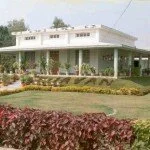
Sanskruthi Vihar is a broad name given to a set of projects consisting of Technology and training development center (TTDC), District Training Center (DTC) and few tourism promotion ventures. District Training center is already come up and various trainings are being imparted to various cadres of district employees to upgrade their knowledge and skills. For […]

